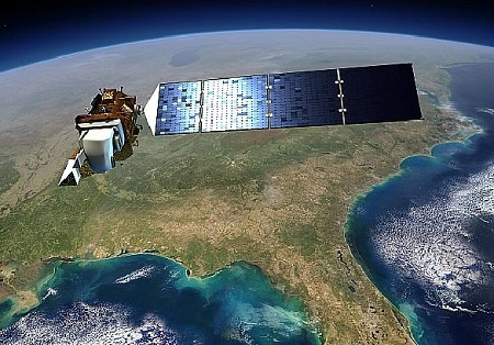
Welcome to Landsat Explorer

Landsat Reflectance Data: On the Fly and at Your Fingertips

Explore Our Planet

Landsat imagery provides unparalleled insights into the changes happening on Earth—capturing forests, cities, deserts, coastlines, and more. With decades of data available, you can:

Why Landsat?

"Landsat is the gold standard calibration reference because the Landsat program has committed to world-class radiometric and geometric calibration standards." - Julia Barsi

For over 50 years, Landsat has helped us better understand our planet. Each image tells a unique story—whether it’s tracking the effects of climate change or monitoring the health of our natural resources. With its high-resolution, multi-spectral imagery, Landsat empowers you to:

Explore Landsat Data

Landsat Data Sample

Satellite Imagery

Explore detailed images of Earth's surface captured by Landsat satellites.

Satellite Overpass

Satellite Overpass

Get notified when a Landsat satellite is passing over your target location.

Earth Data Analysis

Earth Data Analysis

Analyze the data to track changes in forests, cities, and agricultural lands.

Get Started Today

If you want to compare your ground-based observations with Landsat, you'd have to download large files and find your specific pixel everytime to get your SR data, but afraid not!

Our platform provides easy access to Landsat data:

Whether you're interested in monitoring climate change, studying natural ecosystems, or exploring human impact on the environment, Landsat’s wealth of data is at your disposal. Explore, analyze, and understand our ever-changing planet. Start your journey with Landsat Explorer today!